Niagara River Corridor Conservation Action Plan
Niagara River Corridor Conservation Action Plan
(completed February 2010)
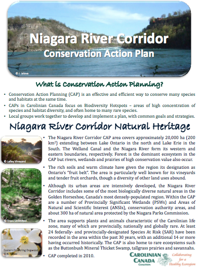
The Niagara River Corridor CAP area covers approximately 20,000 ha (200 km2) extending between Lake Ontario in the north and Lake Erie in the South. The Welland Canal and the Niagara River form its western and eastern boundaries, respectively. Forest is the dominant ecosystem in the CAP but rivers, wetlands and prairies of high conservation value also occur.
Downloads
| Attachment | Size |
|---|---|
| Niagara River Corridor CAP Factsheet | 3.43 MB |
| Niagara River Corridor CAP Document | 1.83 MB |